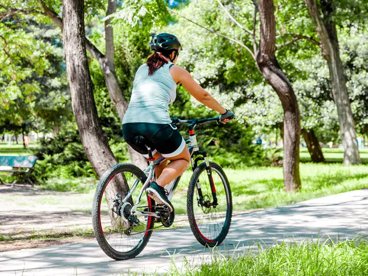
How to measure cycling speed
The most popular formula to calculate cycling speed is to take your distance traveled and divide it by the ride time. To find out your distance you will typically have to use apps such as Google Maps.
You can also skip everything and get your cycling speed from apps such as the Apple Health App or Google Fit.
Types of Bike Speed Calculators
There are different speed bike calculators that you can use depending on how sophisticated or how much information you want to collect.
Some of the most popular cycling speed calculators include bike speedometers, radar guns, computer vision techniques, stopwatches, video image analysis, pneumatic tube counters, and Global Positioning System (GPS).
What is a good average Cycling speed?
The average cycling speed will usually depend on a variety of aspects from the age of the cyclist the experience, the type of bike, and the terrain. However, if we assume flat terrain with slight hills and descents the average cycling speed usually has to do with the experience of the cyclist.
- Beginner Cyclists – For short distances between 10-15 miles beginners will attain an average speed of about 14 mph. Most beginners can get to 12-14 mph very quickly even with limited training.
- Experienced Cyclists – For medium-range distances say between 20-30 miles experienced riders will average between 15-16 mph.
- Reasonable Experience – For medium-range distances of up to 40 miles these cyclists can average cycling speeds of between 16-19 mph.
- Competent Club Cyclists – These have regular training over medium to long distances of up to 60 miles and with their improved speed and endurance will ht average cycling speeds of between 20-24 mph
Most cyclists hardly get to 15 mph due to the nature of the terrain or not needing to ride that fast. However professional cyclists often get to and maintain speeds of 25 mph or more over long distances since they usually cycle on flat terrain in large groups.
Check out the average cycling speed by age here
Fastest Speed on a Bike Ever Achieved
Bruce Bursford the British cyclist set the record for the fastest speed ever achieved on a bike.
In 1995, the cyclist rode his custom-made Millenium bike on an indoor treadmill which went up to speeds topping 334.6 km/h or 207.91 mph which is the world record for the fastest speed on a bike.
In 2018, Denise Mueller-Korenek broke the world record for bicycle speed on land when he rode his bike at a record speed of 296 km/h or 183 mph riding across Utah’s flat salt planes.
How To measure Cycling speed and distance on a bike?
One of the most effective ways of measuring distance and speed is the use of cycle computers otherwise known as bicycle odometers.

Cyclo computers work by counting the number of revolutions of your bike wheel using a small magnet attached to the wheel. The data from the wheel is then sent to a small computer you attach to the handlebars on which you can see anything from distances, speed, and trip time.
An odometer calculates everything about your trip like trip speed and distance while the more advanced odometers can calculate things such as trip time, how dehydrated the cyclist is, and the recommended daily distance among other things.
What is the best bike distance tracker app?
The best bike distance tracker app that you can get is the Strava app. Regardless of whether you are a beginner cyclist or a pro that trains every day, Strava is one of the best.
The Strava app helps cyclists keep track of their performance as t makes it possible to compare key data such as pace and distance which makes it good for tracking your set goals and your progress toward attaining them.
Other apps that have similar functionality to the Strava app include the Apple Health App, Fitbit, Google Fit, and S Health.
How do I track my bike distance on my iphone?
The Apple Health App can be effective for tracking your cycling distance averages for the day, week, month, and year. Here is how you use the Apple Health App:
- Open the Health App and tap Health Data
- Tap Fitness
- Tap Cycling Distance
- Tap Show on Dashboard to the On position
- Tap Dashboard to view your Cycling data and then start cycling
How to track cycling distance on google maps
Google Maps provides an easy way to track the distance cycled and estimated times and speeds for your ride. Here is how to calculate distance using Google Maps:
- Open your web browser on your computer or mobile phone and go to maps.google.com
- Locate your starting point from where you will start cycling
- Right-click the starting point and choose measure distance from the pop-up menu. You may use any of the lawyers like Terrain, Traffic, and Satellite by selecting from the top left corner menu.
- Follow the track set out in the map clicking on it when it curves so that you measure the exact distance. You will at all times be able to see the total distance below the map.
- Zoom in and out when needed so that you can accurately draw your trail. You may also change the layer if needed even though it is always recommended to use the default view since it makes it easier to clearly see the streets and roads.
TIP: use satellite view if you know a trail well but it has not been drawn in the default view by Google. For instance, you might know a shortcut through a wooded area that may be deemed insignificant to be drawn on Google Maps.
Note that you can also download a map of different areas of the map which you can then use at a later time even if you are offline.
